
The large purple rings indicate distance whilst the smaller dark purple rings indicate practices, businesses and institutions, as well as orange indicating site. This result is of no surprise given the density surrounding the site, shown in the image below:

It has been identified that surrounding the site is a mix of high density mixed use properties, with the introduction of more private dwellings the the east of the site, seen as part of New Farm.
The major site issue recognised has been flooding. The below diagram shows areas that were affected by flooding in the 2011 floods. Overland flooding from the river is indicated in light blue. You can see that almost all of the HSW site was inundated by flood waters.


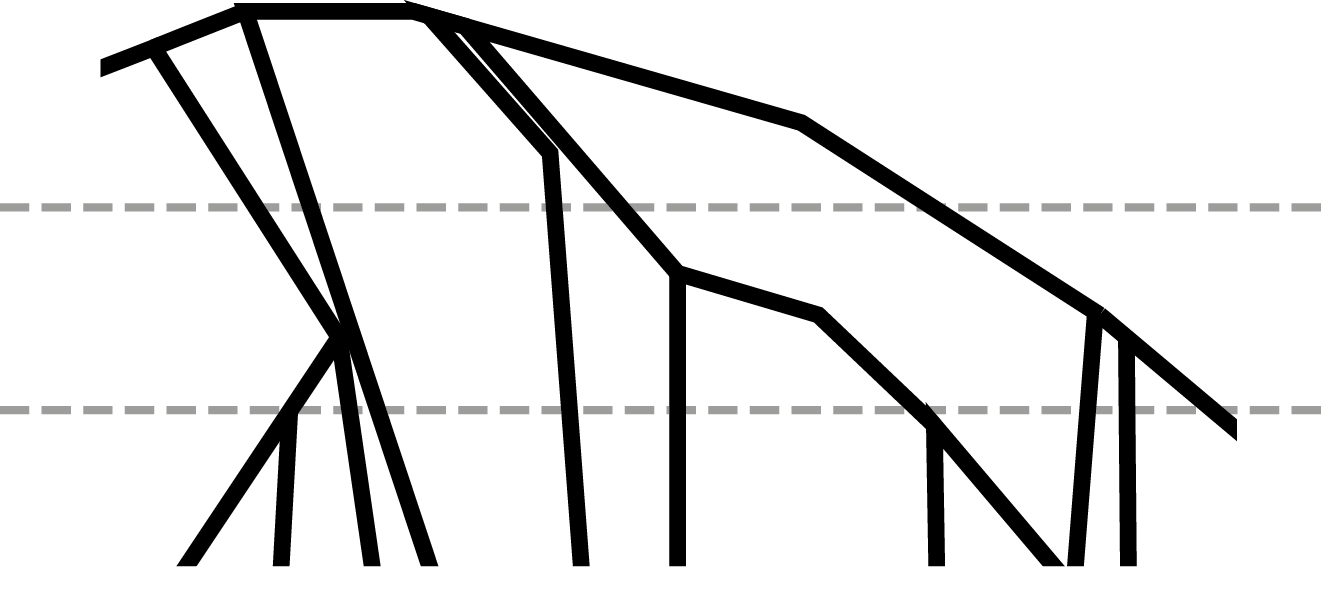
I have kept in mind the idea of separating the structure into three different levels. I want to create an open podium area at the bottom of the building that will be open grassed areas. This is to accentuate the roots of the mangroves and also elevate the building to minimise flooding impacts. My tutor has also suggested the possibility of different levels in the building that could be close off in times of flooding.
No comments:
Post a Comment